
Tracing Names Along Freehold Township Streets
A Freehold Township street directory is a record trail, not one list of every person on a road. The most direct starting point is the county OPRS property and map search. It connects an address to a current parcel record, which may supply the property location, block, lot, qualifier, current owner, tax year, and other MOD IV details. Those labels make later searches reproducible. A road name without a number can still be useful because the property search accepts a street name or a partial street name, but results should be checked one parcel at a time.
Ownership, a tax mailing address, a recorded party, and a registered voter are different roles. Keep them separate in notes. The public voter search is a possible confirmation step when a lawful result is available, but its live fields were not inspectable during the research pass. Do not assume a form field or treat a non-match as proof that someone is absent. The method below follows the address chain from a parcel clue to the custodian that can answer the next precise question.
- Open the OPRS property search, select Freehold Township, and enter the known street address or partial street name. Save the returned property location, block, lot, qualifier, and tax year.
- Use the OPRS map route when the number is uncertain. Zoom to the location, right-click the parcel, and use the radius control only to identify nearby parcel clues.
- Run the same road in the OPRS tax list with a selected year. Read the owner and assessment result as a tax-record entry, not a census of people at the address.
- Search the current owner or the parcel identifiers in the Monmouth County Clerk land-record index to find the acquisition record and earlier recorded parties.
- For an earlier household question, inspect the address section and the matching alphabetical entry in a historical directory, then compare the next available volume.
Note: Record the source date beside each result because property, registration, and recording dates describe different points in time.
Freehold Township Street Search Fields
OPRS uses separate property, tax-list, map, and land-record modules. For a street search, the property screen requires a Township Name and an Address. Its instructions specifically allow a street name or partial street name, so an address such as a numbered Main Street result can also be approached with the street name alone. If numbering is unclear, block and lot are stronger parcel keys. Owner mode accepts a partial current-owner name, while the map route uses a zoomed location, right-click, and radius control. The tax-list module is distinct: its street mode uses Street Name, Township, and Year.
| OPRS field | Input type | Needed | Freehold Township street use |
|---|---|---|---|
| Township Name | Dropdown | Yes | Select Freehold Township for address, owner, or block-and-lot routes. |
| Address | Text | Yes in address mode | Enter a street name or partial street name. |
| Block and Lot | Text or number | Parcel mode | Use together when a street number is unclear. |
| Qualifier | Text | Optional | Retain it when the parcel record displays one. |
| Owner Name | Text | Yes in owner mode | A partial current-owner name is accepted. |
| Map controls | Interactive map | Map route | Zoom, right-click the target, then use the radius control. |
| Street Name and Year | Text and dropdown | Tax-list street mode | Choose Freehold Township and the tax-list year. |
The official Freehold Township Assessor resources identify the local contact route and link to reassessment, appeal, sales, tax, and property-search material.
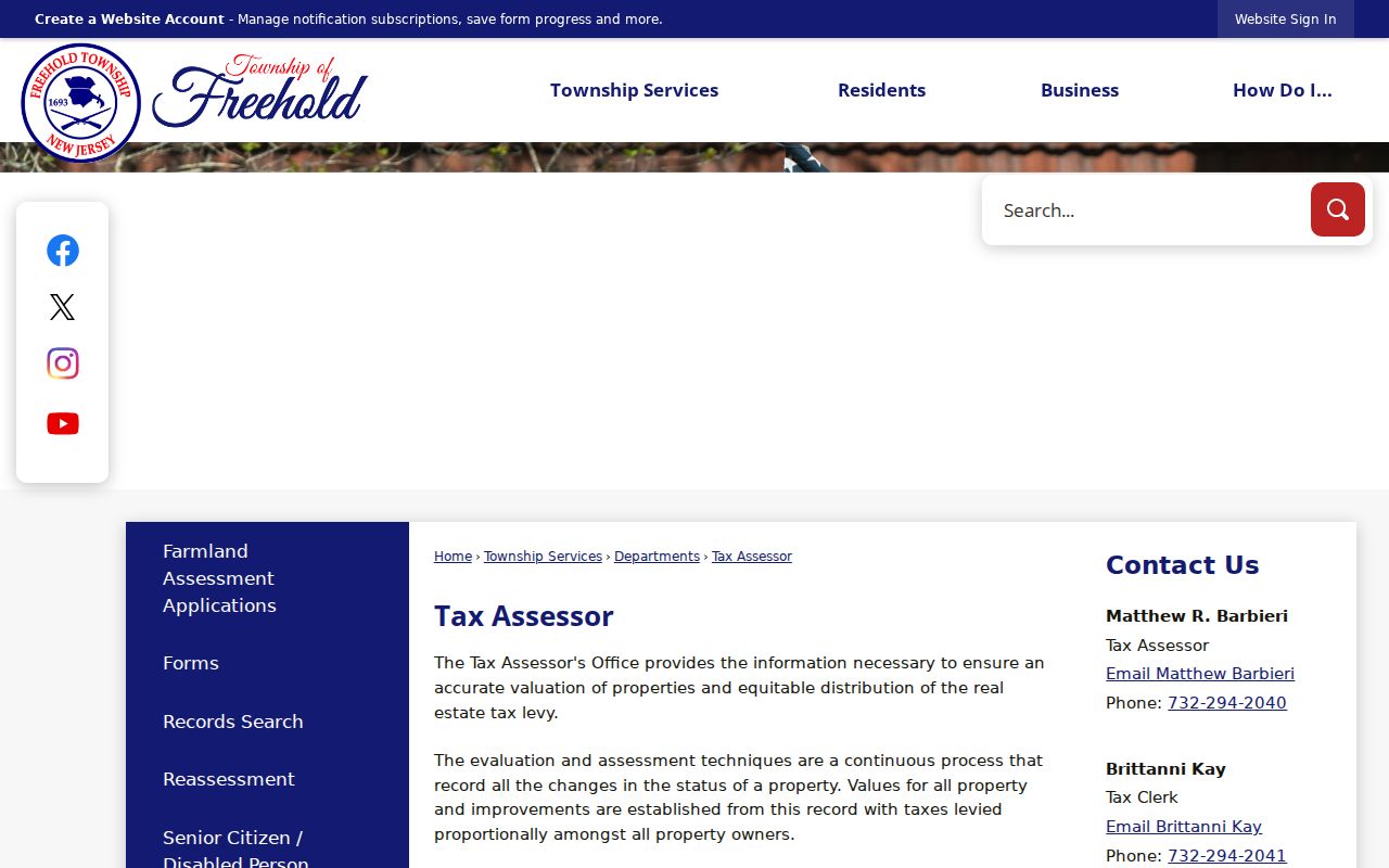
The assessor resource view is a useful reminder to preserve the local parcel context when an OPRS result has an ambiguous street name, a prior block and lot, or an owner spelling that needs clarification. OPRS received a redesign notice dated June 8, 2026; the county said its functions remained available, though mobile use has limitations, so use the stable module links rather than relying on a button position.
Freehold Township Street Record Coverage
Each address-keyed source answers a narrow question. The OPRS property result may connect a name to a parcel. The tax list can show the selected year’s owner, assessment, and property location. A deed identifies parties to a recorded transaction. Maps explain how the parcel is drawn. Construction files can document dated work. None of those sources alone establishes a complete current household, and each should be cited by its own date and record type.
| Address record | Custodian | Street-level clue | Access channel |
|---|---|---|---|
| Property and MOD IV card | Monmouth OPRS and assessor data | Owner, property location, mailing context, assessment, block and lot | Free OPRS address, name, block/lot, or map search |
| Tax list | Monmouth OPRS | Street, owner, assessment, exemptions, and tax-list history | Street, owner, block/lot, or aggregate mode with year |
| Recorded deed or lien | Monmouth County Clerk | Recorded parties, consideration, identifiers, and legal description | Free index and images; Clerk copy or in-person route when needed |
| Tax or subdivision map | Township and county sources | Roads, block/lot geometry, easements, and map detail | Township Maps, old sheets, and OPRS map paths |
| Permit or code record | Freehold Township Construction or code office | Applications, inspections, certificates, and complaint-book entries | Department request or township OPRA; no live address index located |
A parcel number is the strongest bridge across systems. A street name can change form in a search field, while block, lot, and qualifier provide a legal parcel reference. When a result does not align, keep the original spelling, compare the tax-map sheet, and move to the next official source instead of forcing a match.
Freehold Township Street Tax Limits
A tax-list owner is not automatically the person who uses a property day to day. The OPRS Help material distinguishes owner, mailing address, property location, assessment, and tax-history data. A mailing address can be outside Freehold Township, and that fact does not establish that the owner lives elsewhere or that a particular person is at the parcel. The same restraint applies in reverse: a name missing from an owner field is not proof of absence from the location.
Read the selected tax year before comparing records. The tax-list landing page provides a year selector but does not state the earliest Freehold Township year in its official text. A street-wide tax query is therefore best used to organize parcel references for that selected year. For a person-specific confirmation, use the result as one dated clue and compare a recorded instrument, an available voter result, or a properly requested municipal record without merging their roles.
Note: Keep the tax-list year with the owner and property fields so a later search does not make an old result appear current.
Three Freehold Township Address Labels
Address words mean different things in a Freehold Township street directory. The situs, or property location, is the physical parcel. A tax mailing address is where the tax notice goes. The legal description is the block, lot, qualifier, subdivision reference, metes-and-bounds description, or another deed-based description. A careful search keeps all three labels rather than collapsing them into one address line.
- Parcel
- A defined piece of real property identified in local tax and mapping records, often through block and lot numbers.
- Situs address
- The physical property location shown for a parcel, distinct from an owner’s tax mailing address.
- Legal description
- The deed or tax-map description that identifies land through block, lot, qualifier, subdivision, or metes-and-bounds language.
- Criss-cross directory
- A directory arranged by address rather than only alphabetically, used to compare a printed street entry with its named entry.
These distinctions help with a postal mismatch as well. A Freehold postal label can serve Freehold Township or Freehold Borough, so a mailing label should be checked against the legal municipality and parcel result before it is used in a street record.
Parcel-to-Deed Freehold Township Street Chain
After OPRS supplies a block and lot or current owner, the Clerk index can turn that parcel into a recorded transaction trail. Search the current owner as a grantee or use the parcel identifiers. Capture the acquisition instrument or book and page, recording date, document type, seller or grantor, buyer or grantee, and legal description. Then search the earlier seller as a grantee with the same legal description and an older date range. Grantor means seller and grantee means buyer, a distinction that prevents the chain from running in the wrong direction.
The Monmouth County Clerk OPRS land index provides the search surface for instrument, document-type, block-and-lot, and name routes.
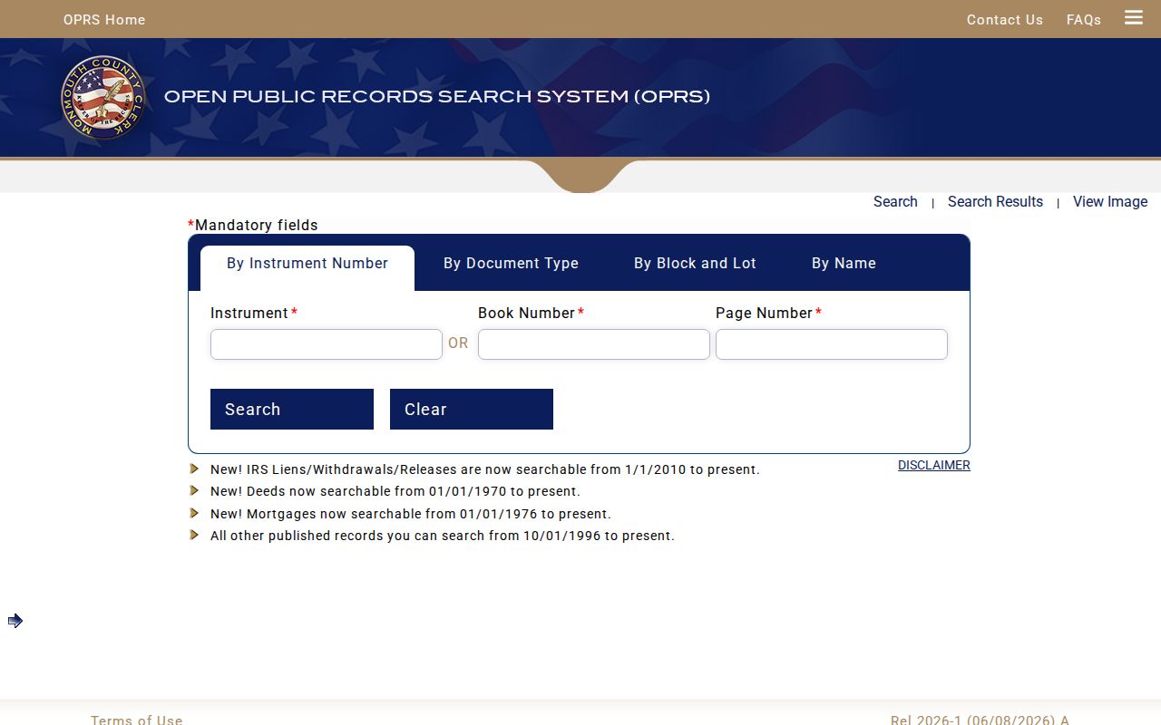
The deed-index view shows why a precise identifier matters. Its name search supports a last name or company name, an optional first name, document-type selection, optional dates, and a percent wildcard; its block-and-lot route requires the municipality as well as the parcel keys. The online result is a discovery source, not a substitute for title work.
Freehold Township Street Maps and Sectors
Freehold Township’s official map collection supplies street, tax, zoning, wetlands, trail, polling, recycling-sector, and other map layers. Use a tax map to connect a road to block and lot, then pair it with the current OPRS parcel record and Clerk index. The older tax-map material lists index and cover sheets plus parcel sheets 1 through 73, including fractional blocks. A map can explain parcel geometry or an easement, but it cannot prove who is connected to an address.
The A through F sector list is another local geographic key. Its boundaries use roads such as Route 33, Route 9, and Dutch Lane, and it names communities including Raintree, Poet’s Corner, Stonehurst, Wemrock, and Dutch Lane Estates. These labels are useful search terms for maps, permits, minutes, and historical references. They are not evidence that a named person belongs to a community or occupies a parcel.
Note: Retain a sector or community label as geographic context beside the street and parcel identifiers, never as a replacement for them.
Freehold Township Street Permit Records
Construction files can add a dated address trail after the parcel has been identified. The township Construction Department covers structural, plumbing, HVAC, and electrical permits, inspections, and certificates of occupancy. The code material also states that the permit book and complaint book are subject to inspection. Ask for a specific address, block and lot, record type, and date range. That narrow request gives the custodian a usable way to locate the record.
No public live permit-by-address index was located. If the department cannot provide a direct inspection route, the Freehold Township OPRA information and form route is the documented fallback. Exact archive start years, closed-case retention, and fees were not located in official sources, so they should be confirmed with the department rather than assumed.
Freehold Township Street History Gaps
For an older address, reverse directories provide a street-to-name method: locate the address section, transcribe the printed occupant, confirm that name in the alphabetical section, and compare the next available volume. The official research identified the Monmouth County Historical Association, the New Jersey State Library holdings, NJHS microfilm, and the Monmouth County Library NJ-Room as the relevant shelves. The exact years with reverse sections are not separately labeled in the official holdings, so the volume itself must be inspected.
Early records introduce another search label. The State Archives guide includes Freehold Township tax-ratable volumes from 1776 through 1796 and uses Lower Freehold for one 1787 volume. A historical street or parcel search can therefore need Freehold Township, Freehold, Lower Freehold, and Monmouth County as separate terms. The 1855, 1873, and 1930 county fire history also explains why older material may be divided among the Clerk, Archives, historical association, and library collections.
Freehold Township Street Deed Cutoffs
The County Clerk’s online coverage changes by record type. Deeds are indexed from 1970 forward, mortgages from 1976, IRS liens, withdrawals, and releases from 2010, and other published records from 1996. The general land page’s October 1, 1996 description should not be read as one universal start date. A street or parcel search may locate an older deed category while another category stops later.
When an address trail reaches the online cutoff, continue through the County Clerk at 33 Mechanic Street in Freehold or make a precise copy request. The Clerk says online material is informational and not accurate enough for a title search. Certified-copy and title-grade work require the Clerk’s own process, rather than an assumption based on an image or index row.
Freehold Township Street Directory Privacy Limits
A public address record has boundaries. New Jersey’s Address Confidentiality Program can supply a substitute address for eligible participants, and Daniel’s Law can protect the home address and unpublished phone number of covered people. Voter signatures, Social Security numbers, driver or non-driver numbers, and protected voter information are not ordinary public outputs. An absent address may reflect a lawful protection or a record that does not answer the question, not a blank invitation to seek it elsewhere.
The New Jersey Open Public Records Act, N.J.S.A. 47:1A-1 et seq., provides a request framework while preserving exemptions and special handling. Electronic copies are generally free and standard paper rates are stated in the law, but a custodian can deny exempt or non-existent material. Ask for the specific address record, date range, and format rather than requesting a broad personal profile.
Lawful use. Freehold Township address records support personal, family-history, property, and civic research. N.J.S.A. 2C:12-10 and 2C:33-4 address stalking and harassment; do not use an address trail to stalk, harass, intimidate, threaten, or harm anyone.